Catherine Creek Kinsley Campground Correction
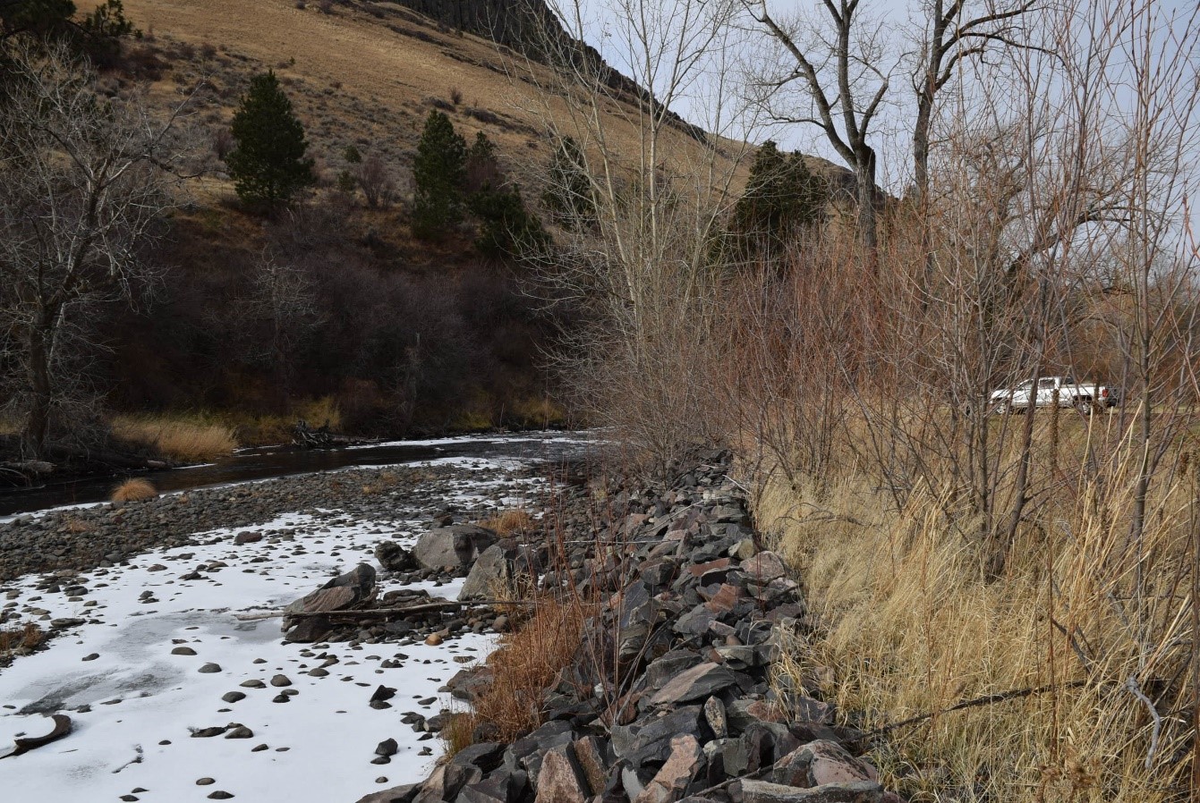
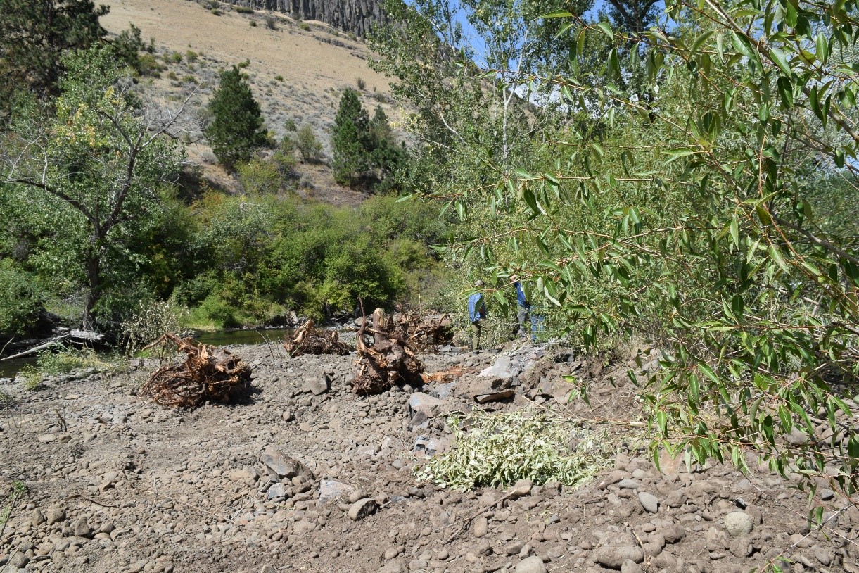
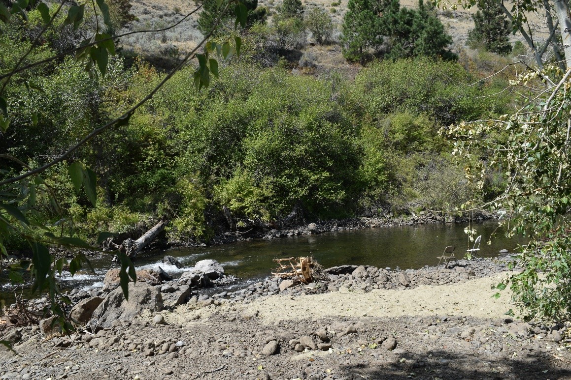
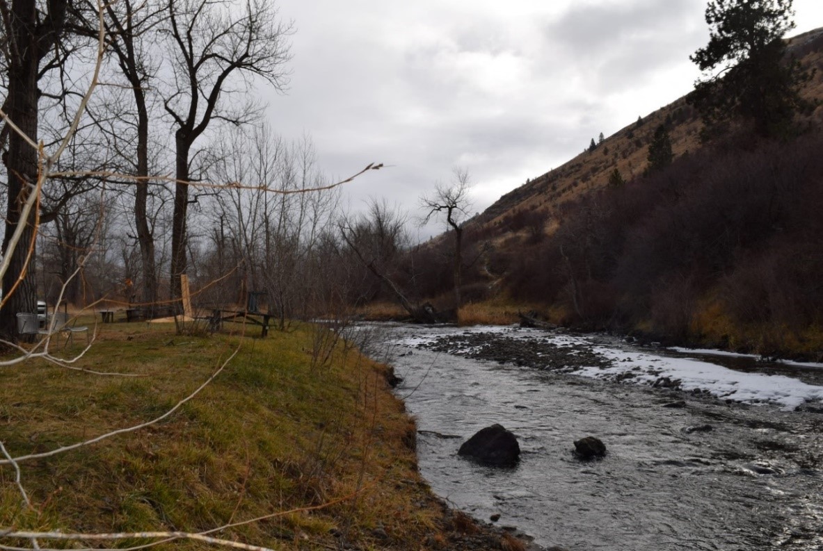
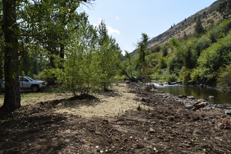
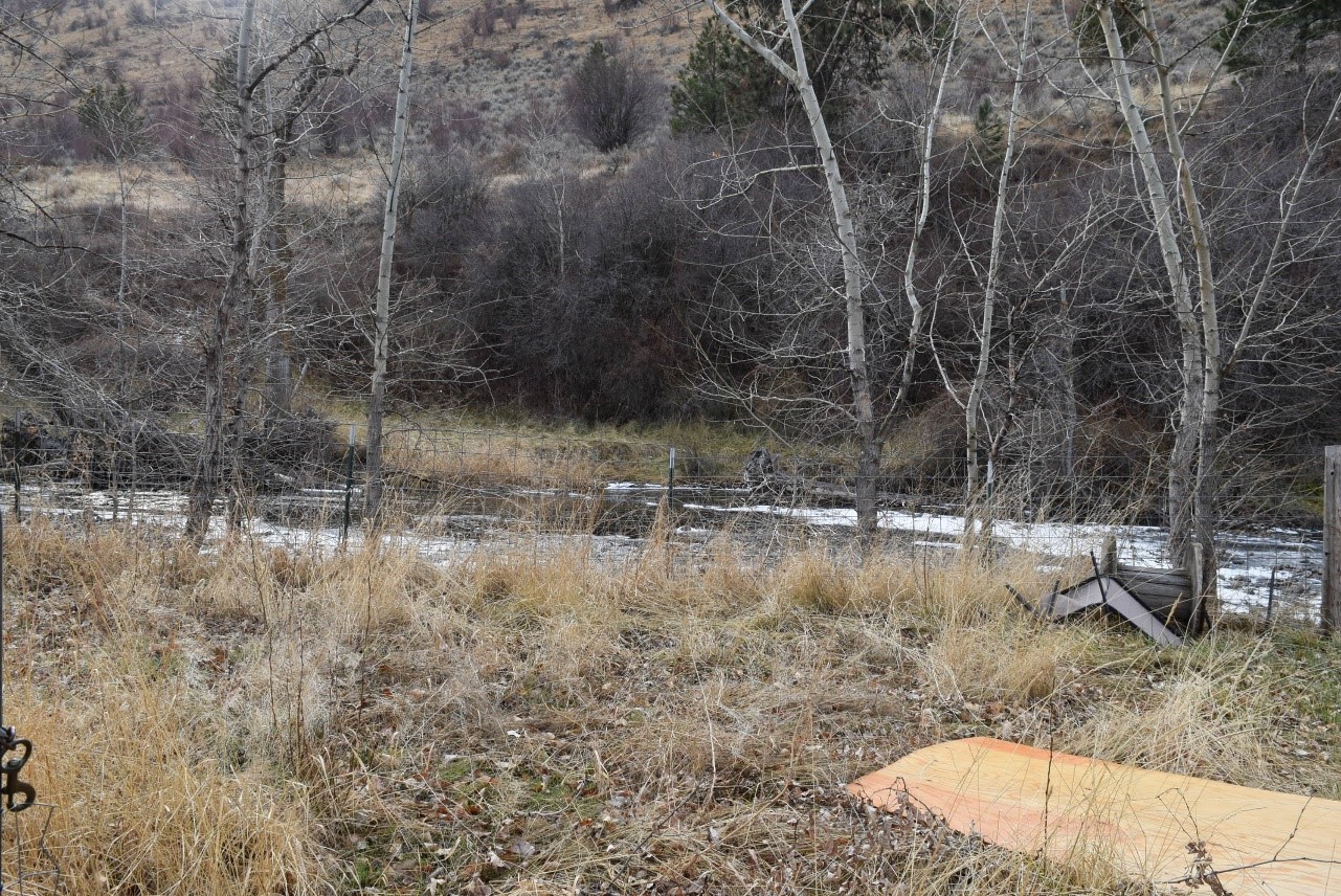
The project area is located on private land approximately 3 miles Southeast of Union, Oregon on Catherine Creek (R.M 42.8-43.3) in the Upper Grande Ronde Sub-basin. The project legal description is: Township 4 South, Range 40 East, Section 28. In the middle of the project reach is an area the landowners manage as a family campground and gathering place. Past management of this area by the landowners utilized rock rip-rap as streambank protection. During the planning and implementation of the CC-44 project, the District had many discussions with the landowners about removing the rock to encourage natural regeneration of stream side vegetation, but at the time of the CC-44 construction the owners did not trust that the thalweg could be moved toward the left bank and away from the rip-rap bank. However, the project was successful in moving the channel thalweg to valley left. Currently the channel thalweg downstream of the rip-rap section has migrated north and to the edge of the campground area, eroded the depositional bar formation, and is now threatening to undercut the banks. The District is proposing to correct this erosion issue with an approach that further enhance the stream conditions for ESA-listed fish species. The proposed solution would add 12 whole trees to the gravel bar that has developed upstream of the campground area; thereby, encouraging deposition, allowing the removal of more rip-rap material, and enabling planting of riparian trees and shrubs on the right bank surface. Boulders placed during the CC-44 construction will be repurposed as habitat boulders downstream. One large wood structure will be added to redirect flow away from the right bank at the campground location and encourage pool development on river left. Downstream of the large wood structure on the right bank a gravel point bar will be constructed. Project partners include the District, the Grande Ronde Model Watershed and the landowner.
Gallery