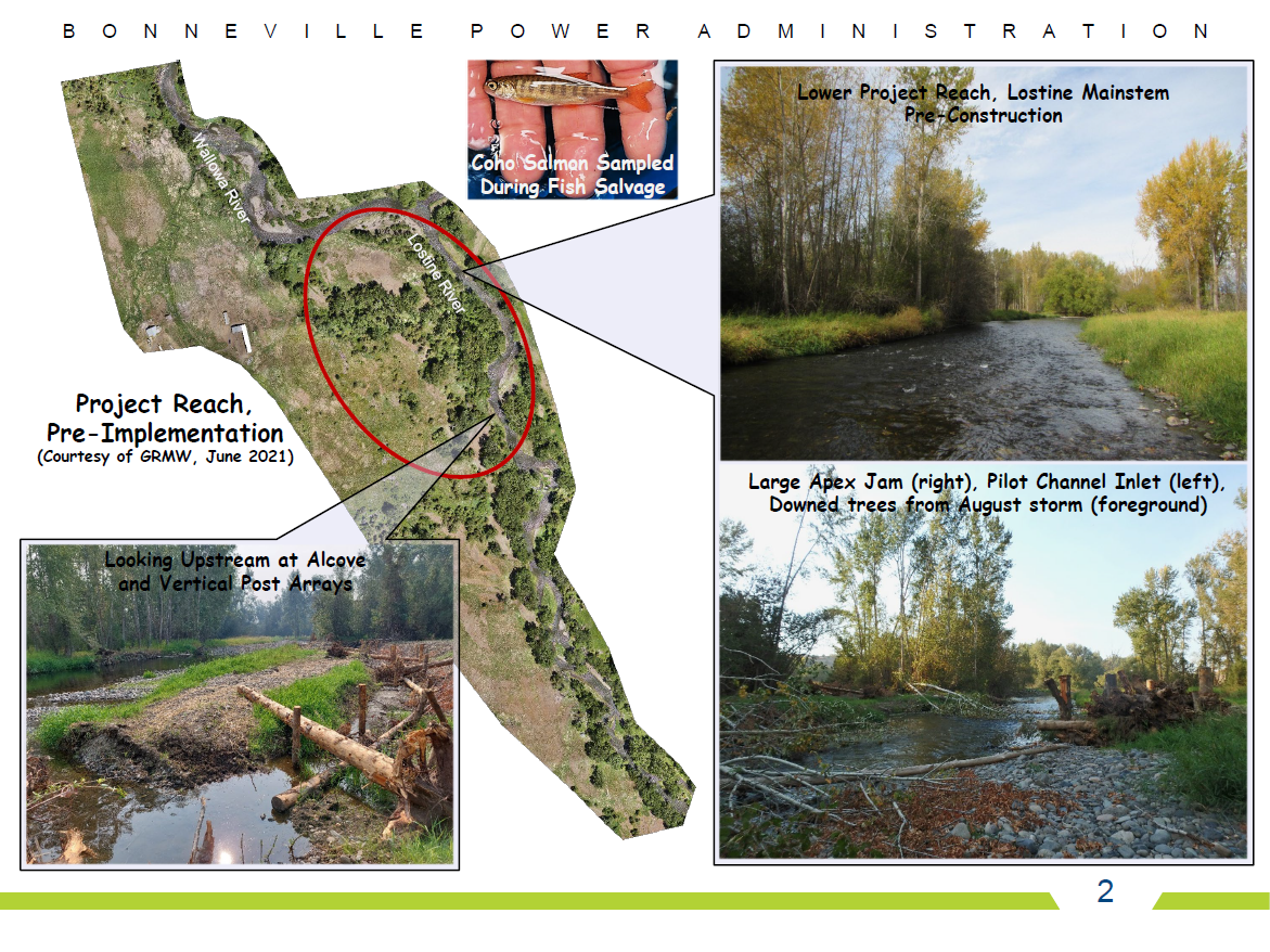
Lostine Wetland and Side Channel Complex Project
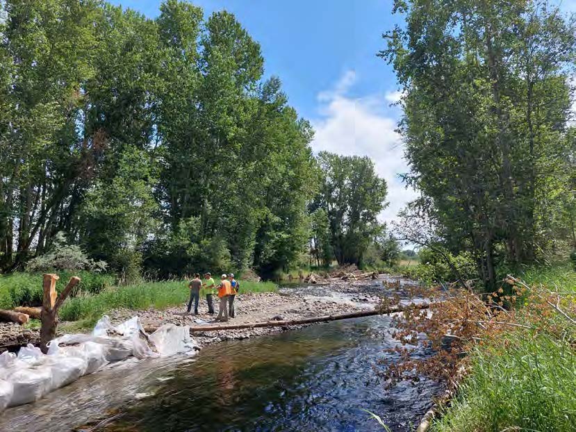
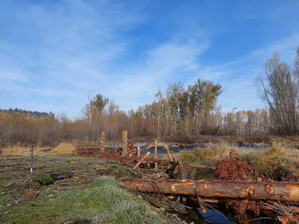
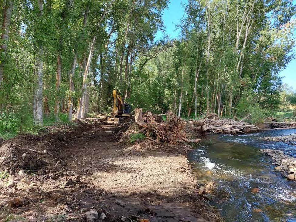
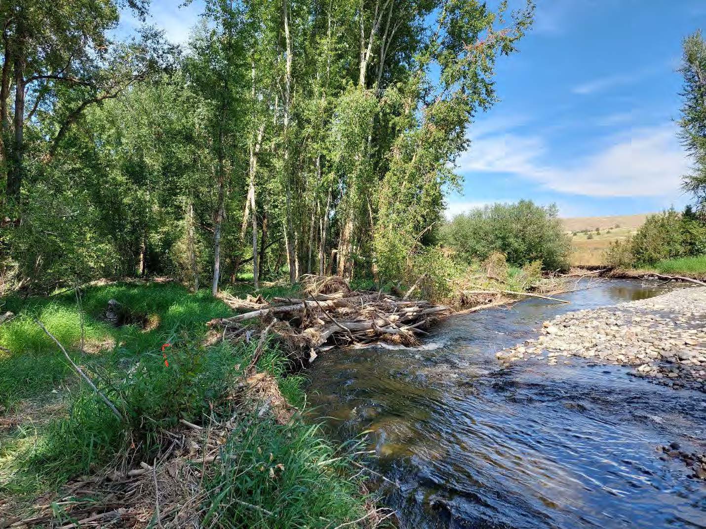
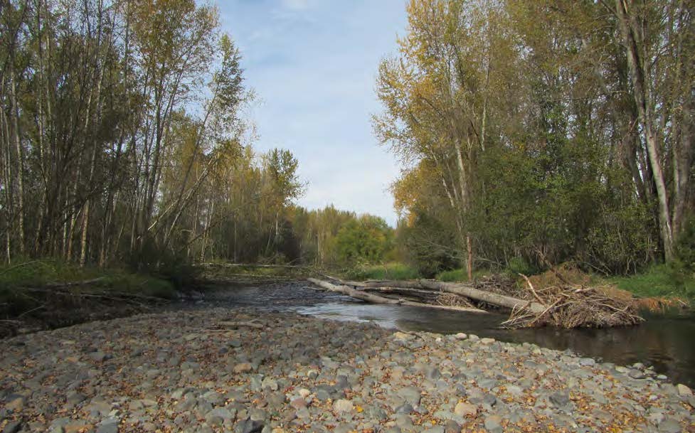
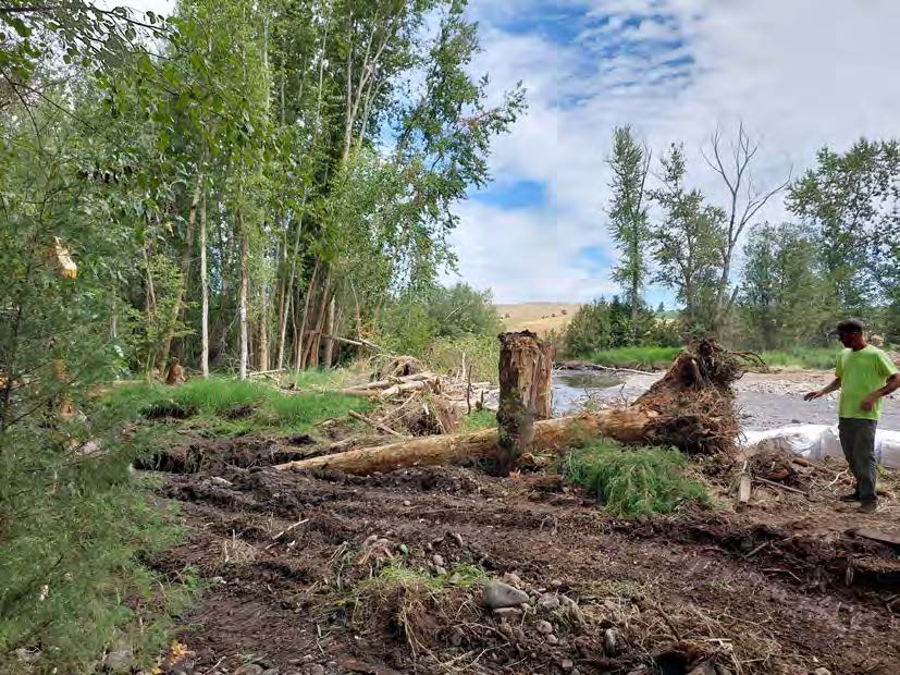
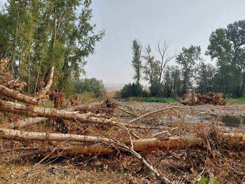
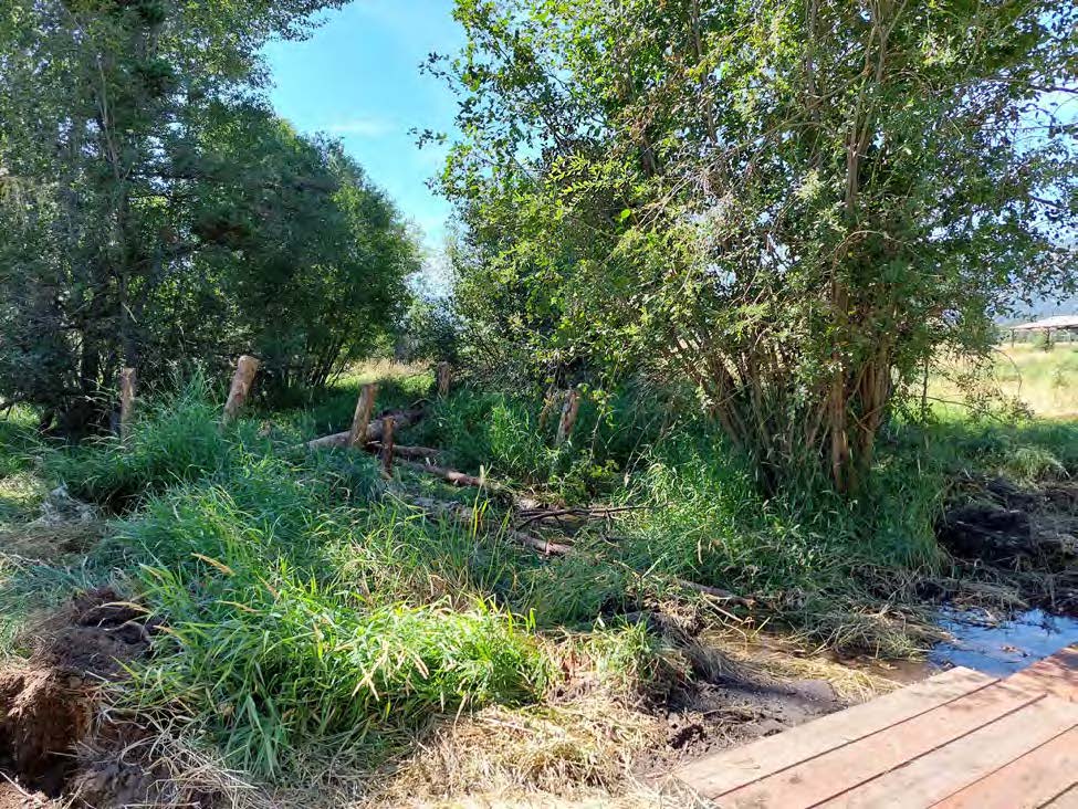
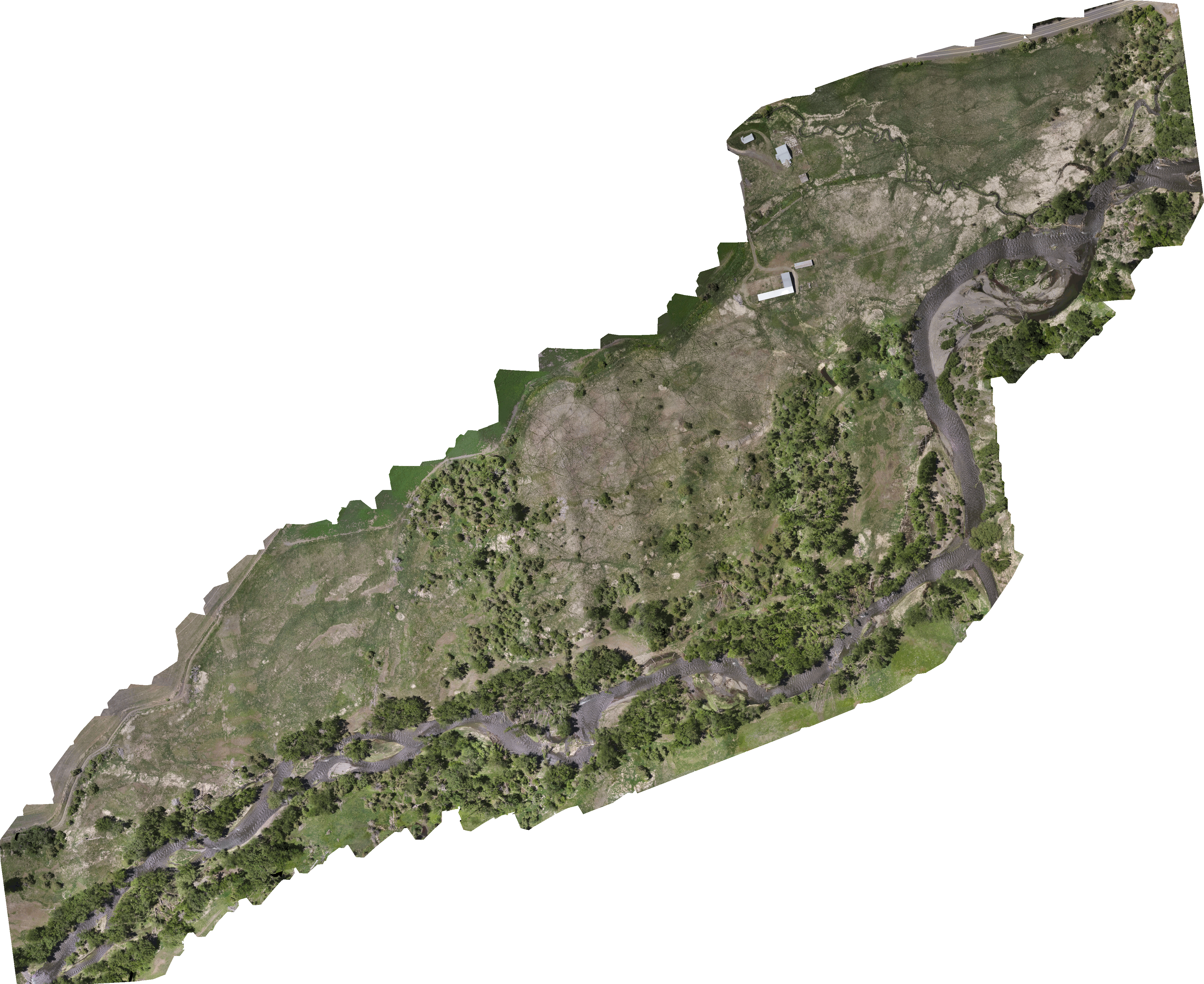
With the cooperation of the landowner and the Wallowa Land Trust, the Nez Perce Tribe (NPT) successfully implemented the downstream half of the Lostine Wetland and Side Complex project. Located on the Lostine River, at and immediately upstream of the confluence with the Wallowa River, the hired contractor – Northwest Watershed Restoration, completed all portions of this phase of implementation between July and November 2021. NPT was responsible for all contracting and daily construction oversight, and GeoEngineers supplied final designs, bid documents, construction engineering, construction oversight, and inspection. The resulting project entailed a light touch restoration approach including selective levee breaching at pilot channel inlets/outlets, alcove excavation, mainstem, side channel and alcove large wood placement, vertical post array placement within the floodplain, and riparian and wetland planting and seeding to improve floodplain connection, wetland conditions, and local fish habitat for a variety of species including Spring Chinook and Coho salmon, steelhead, Bull Trout, Pacific Lamprey, and other native aquatic and terrestrial animals. Project partners include Nez Perce Tribe (NPT), Grande Ronde Model Watershed, BPA, Wallowa Land Trust, and the Wolfe family.
Gallery