Catherine Creek River Mile 38 Stream Restoration

GRMW ID: 1980

Fiscal Year: 2021

Project Status:

Complete

Description

Catherine Creek River Mile 38 Stream Restoration

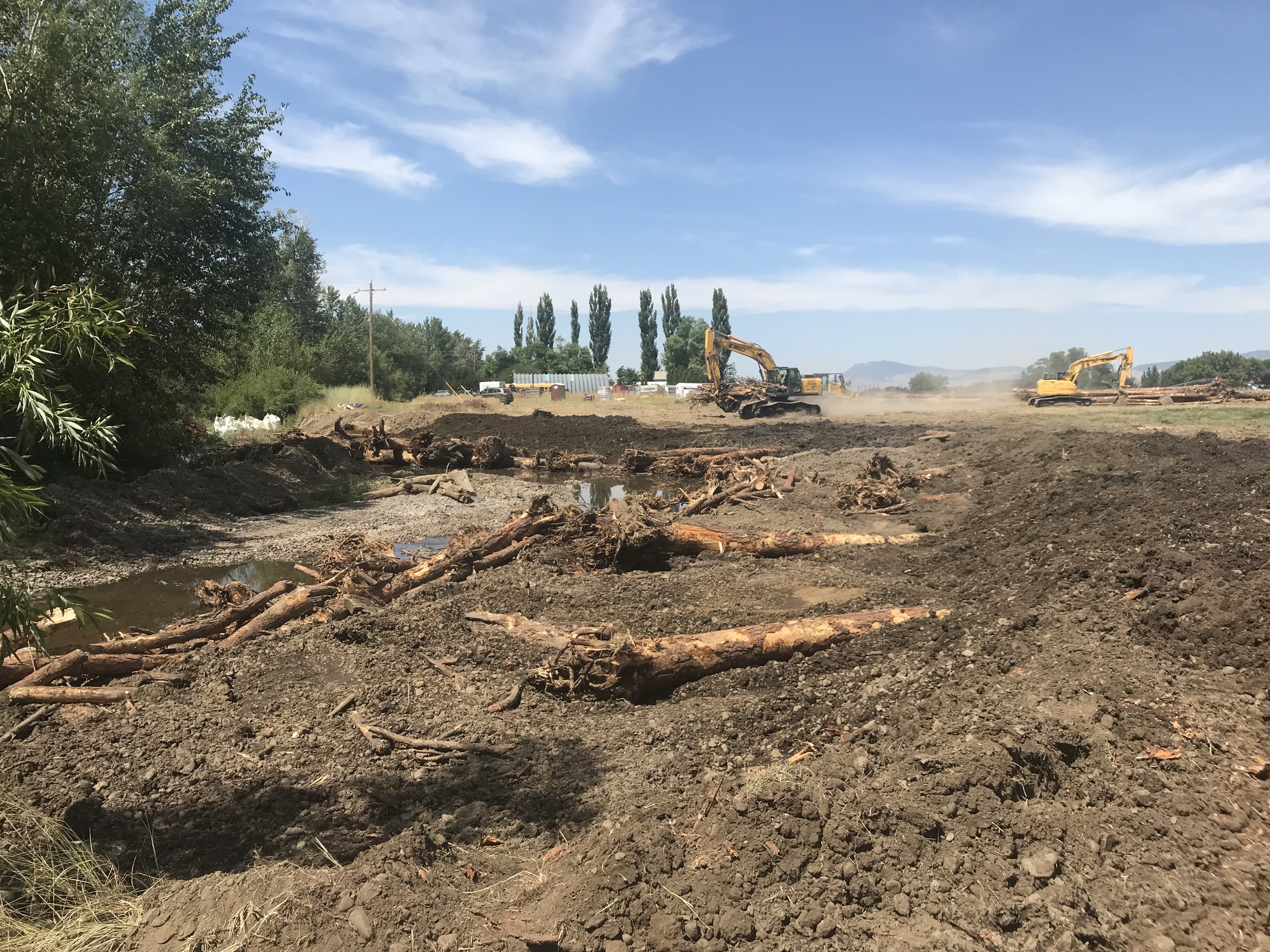
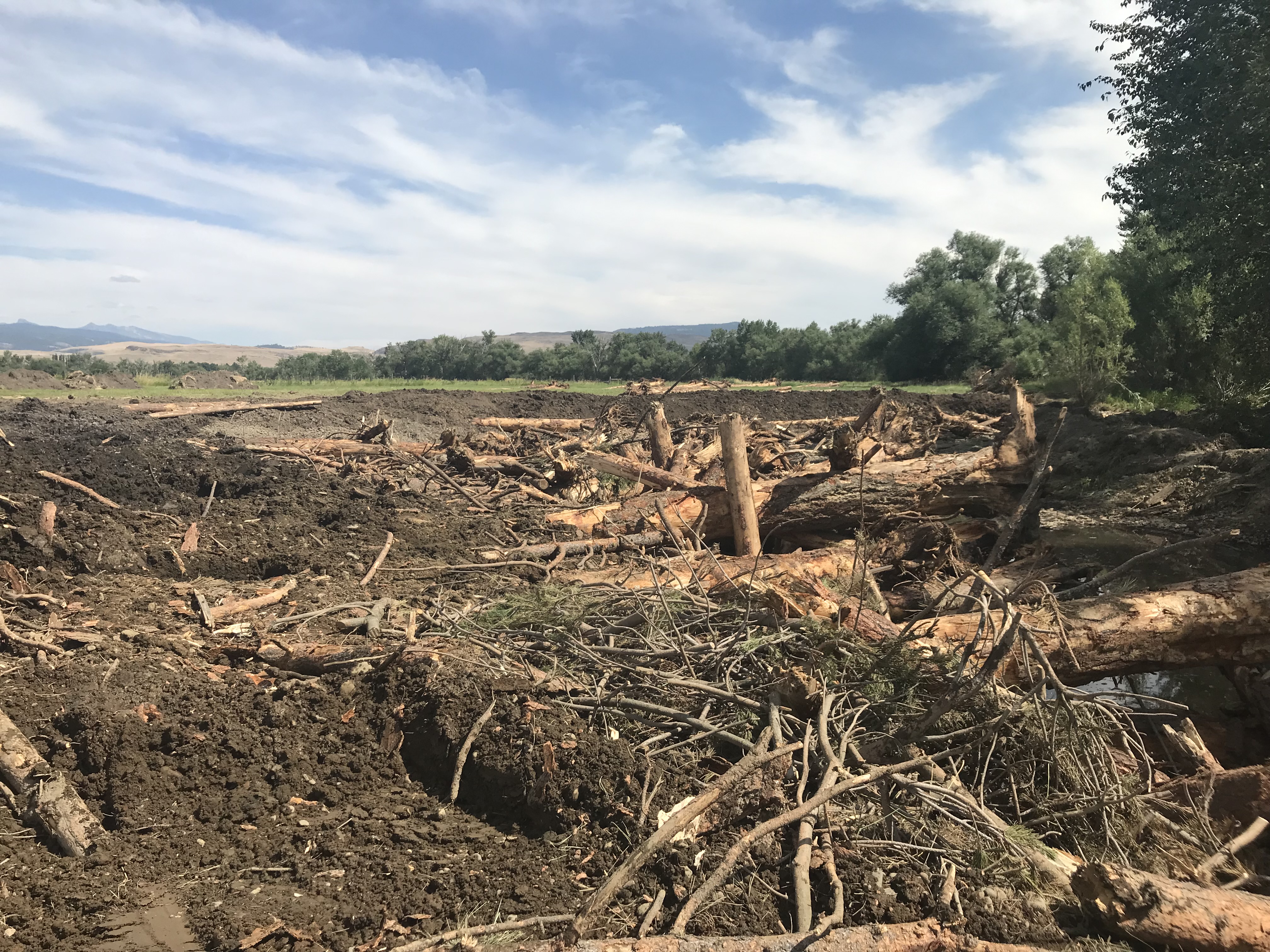
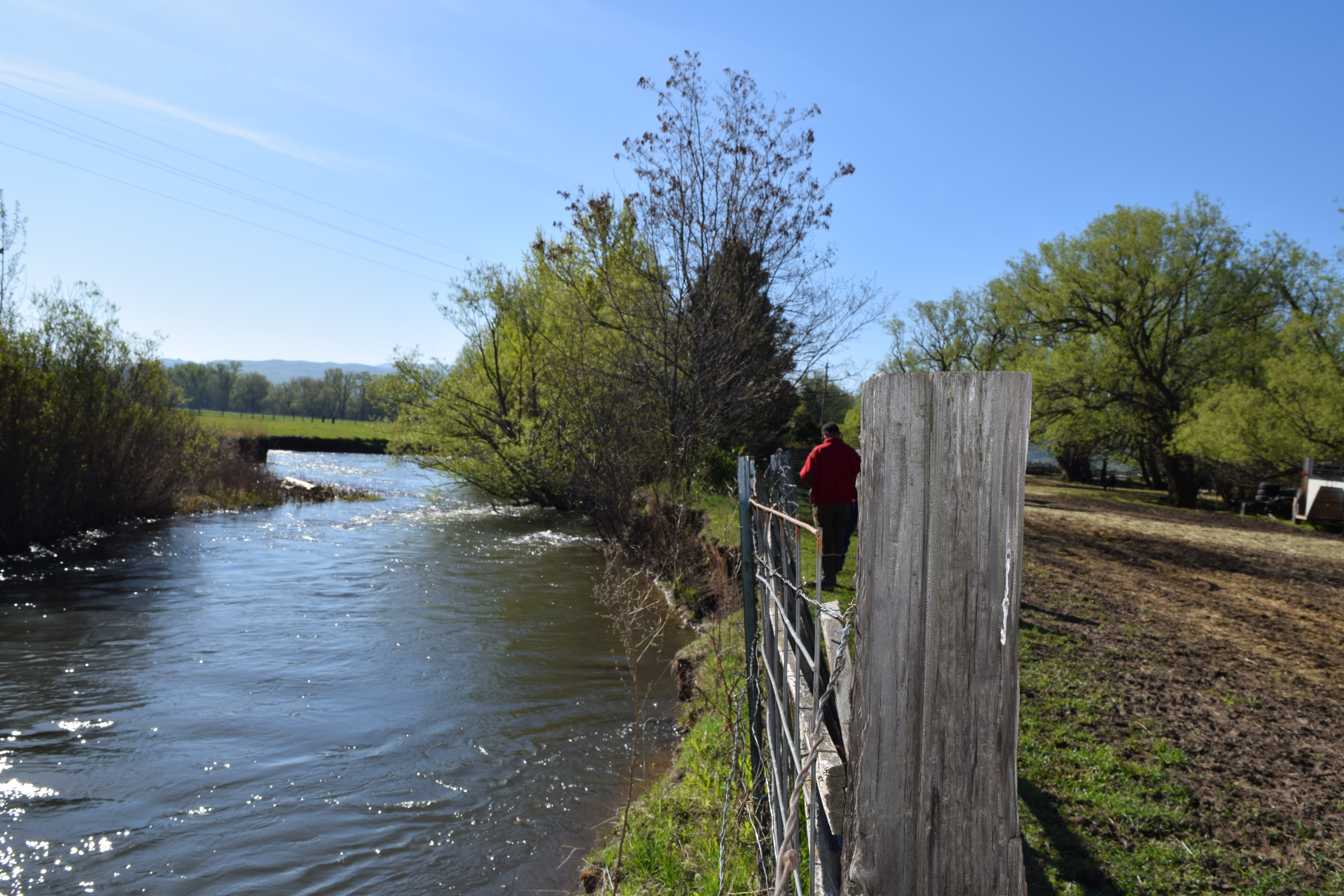
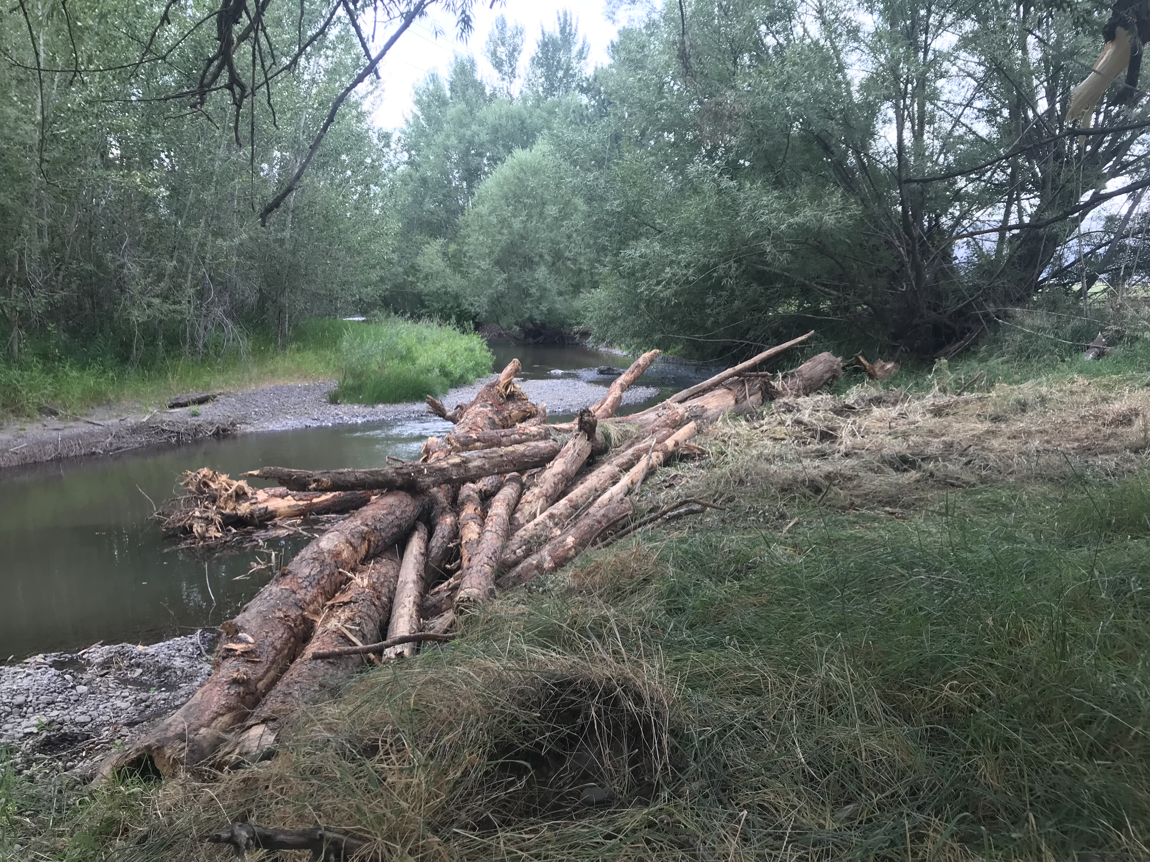
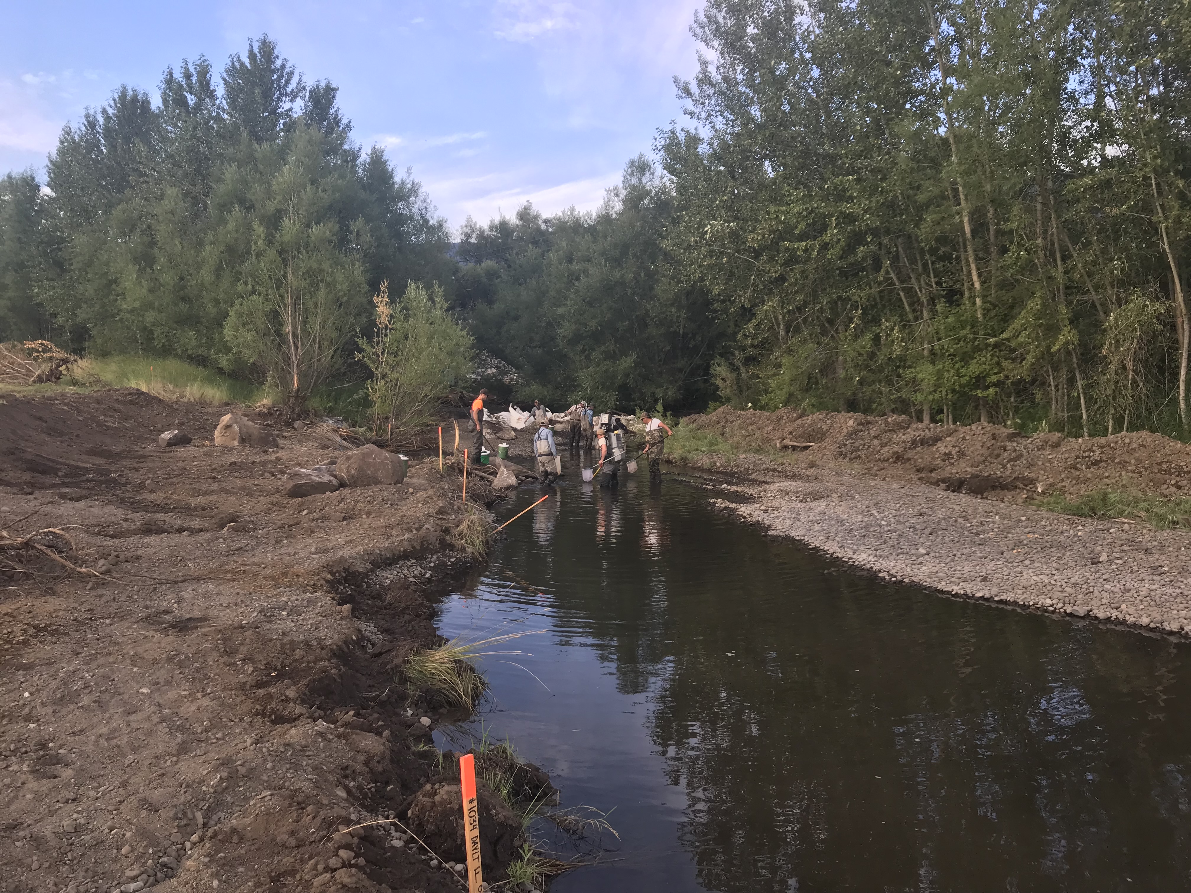
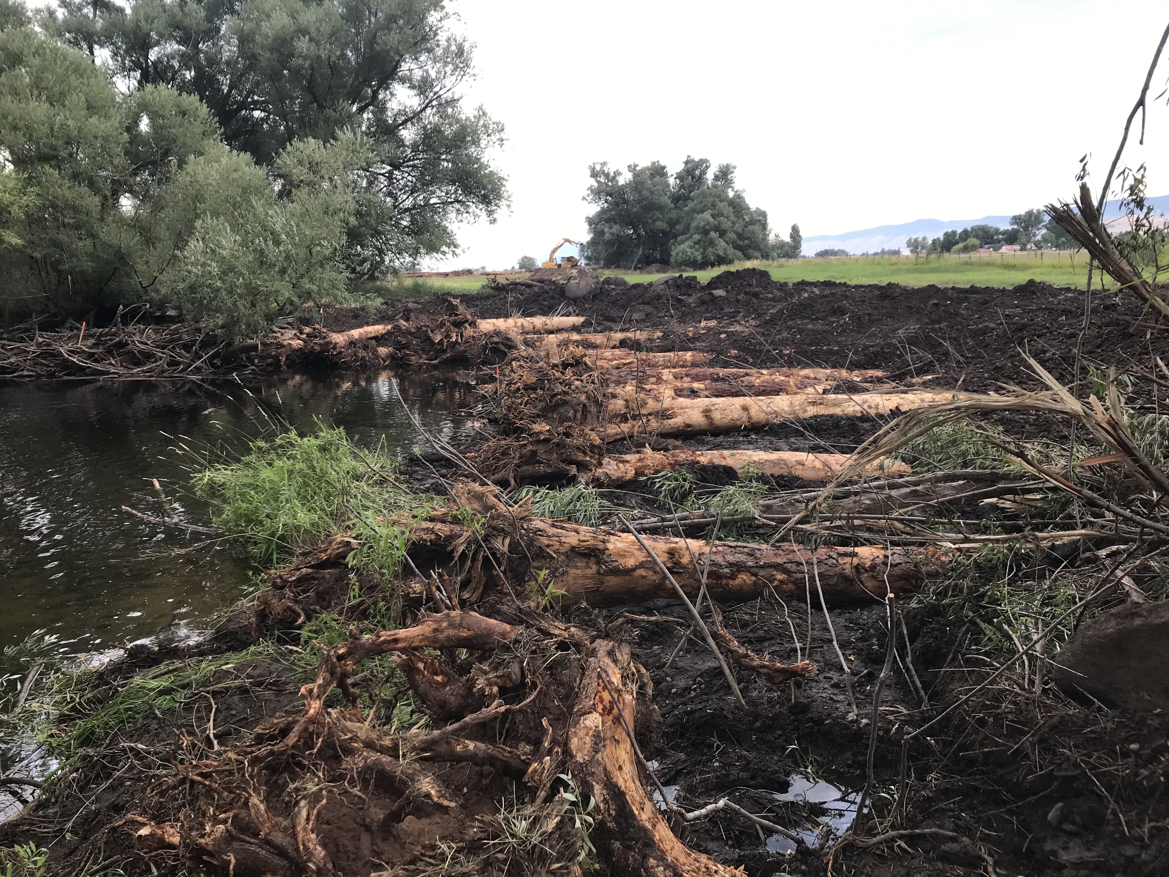
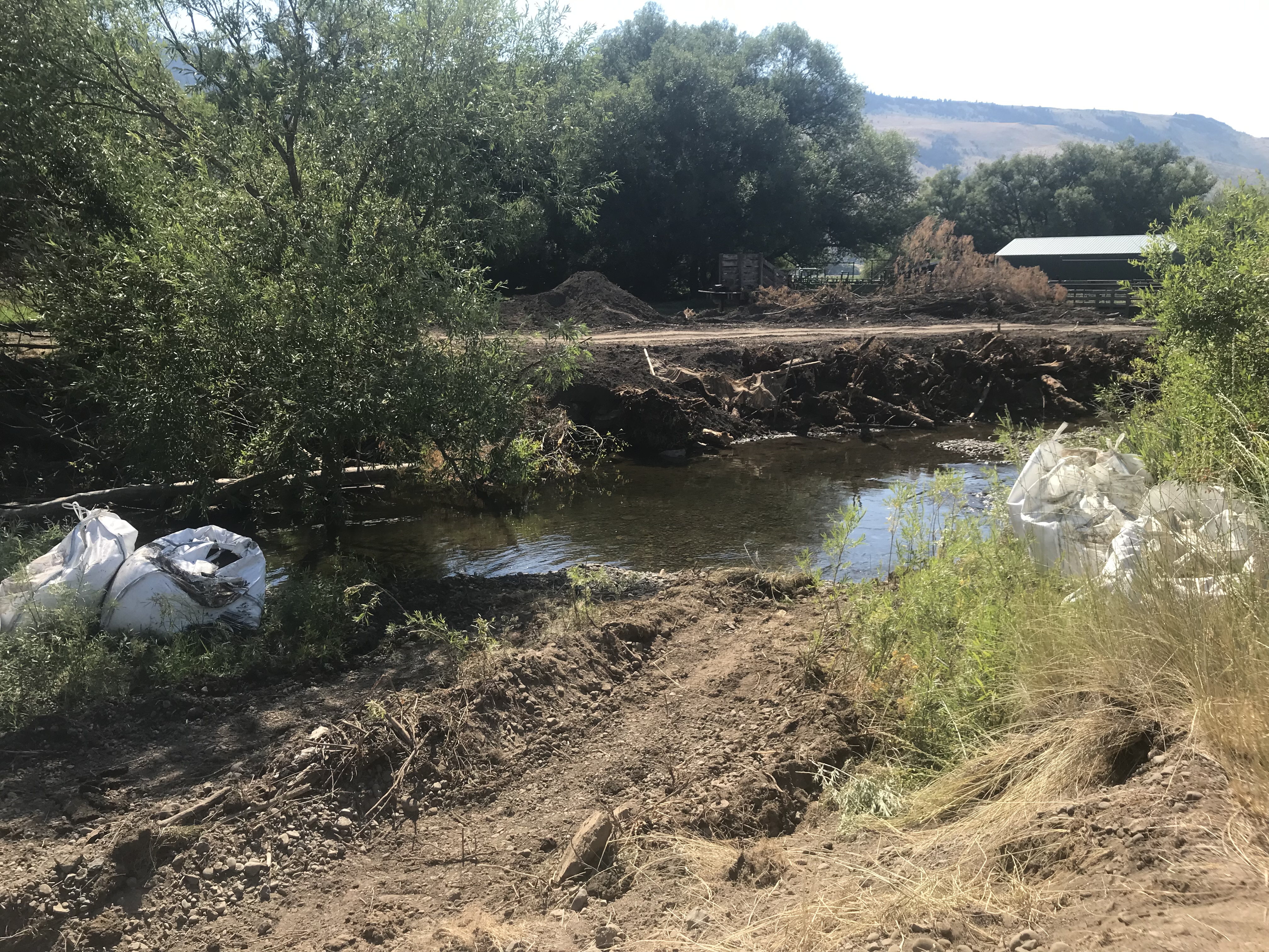
The CC-38 project is located on privately owned property along Catherine Creek downstream of Union, Oregon. The property is currently managed as an operating farm and ranch, with much of the historic floodplain being in hay and pasture production. The channel through the project reach is moderately confined with a floodplain width of 67 feet, a sinosity of 1.19, and a stream gradient of 0.5%. In August 2017, after many years of discussion and negotiation with the Union SWCD and other natural resource agency partners, the landowner signed a 15 year riparian easement agreement based on the conceptual actions defined in the 15% conceptual drawings. The landowner has not eliminated the possibility of future, more extensive restoration actions on his property. Proposed conceptual actions are intended to increase both summer and over-wintering habitat conditions for juvenile salmonids. Favrot and Jonasson (2014) found one pool within the project reach contained the largest amount of overwintering juvenile Chinook in the Catherine Creek basin and also found that a second pool in the reach had the next highest, but lacked a large wood component. In addition, they identified that juvenile Chinook in the reach were primarily associated with small transient wood owning to the lack of stable large wood in the reach. This project intends to enhance five pools with large wood placement, reduce stream bank slopes to promote riparian plant survival, and decrease stream sedimentation through the placement of large wood complexes. Project construction is planned for the summer of 2021. Currently, project designs developed by the Bureau of Reclamation (BOR) are near a 30% level, but BOR staff is unavailable to complete design work within the project timeline. Project funding is being sought to develop the designs to final construction ready plan sets that include updated topographic survey and permit and regulatory requirements.

Project Site Locations

Development Sites

Site name Latitude/Longitude Download
General Project Location 45.21141699999994/-117.89723100000009 Download KML

Contacts & Roles

Name Role Organization
Jim Webster Supervisor Oregon Department of Fish & Wildlife
Aaron Bliesner Project Manager Union County Soil & Water Conservation District

Organizations

Organization Role
Grande Ronde Model Watershed Cooperator
Union County Soil & Water Conservation District Sponsor
Oregon Watershed Enhancement Board Funding Entity

Grants & Contracts

Organization Contract # Funding Amount
Oregon Watershed Enhancement Board OWEB-FIP $175850.00
US Fish and Wildlife Service In Kind-Cash $20000.00
Grande Ronde Model Watershed In-Kind (GRMW/USWCD & Partners) $25045.00
Oregon Watershed Enhancement Board Budget Modification (FIP) $6440.00

Documents

Document Type View Download
Completion Report View Document Download Document
Project Proposal View Document Download Document
Monitoring Report View Document Download Document
Acceptance Letter View Document Download Document
Photos View Document Download Document
Other View Document Download Document

Metrics

Metric ID Units Work Elements Metric
1387 0.25 29. Increase Aquatic and/or Floodplain Complexity # of miles of stream with improved complexity
1401 0.25 40. Install Fence # of miles of fence installed in a riparian area
1406 0.25 47. Plant Vegetation, 53. Remove Vegetation, 197. Maintain/Remove Vegetation, 198. Maintain Vegetation, 199. Remove Vegetation # of riparian miles treated
1517 3.23 47. Plant Vegetation, 48. Practice No-till and Conservation Tillage Systems, 53. Remove Vegetation, 180. Enhance Floodplain/Remove, Modify, Breach Dike, 197. Maintain/Remove Vegetation, 198. Maintain Vegetation, 199. Remove Vegetation, 30. Realign, Connect, and/or Create Channel, 31. Conduct Controlled Burn, 52. Remove Mine Tailings, 55. Erosion and Sedimentation Control # of acres of riparian non-wetland habitat treated
1594 15.00 29. Increase Aquatic and/or Floodplain Complexity # of anchored individual log structures (not logjams) installed for both stabilization and complexity
1748 1.00 29. Increase Aquatic and/or Floodplain Complexity # of pools created for only complexity