Sheep Creek Restoration Project

GRMW ID: 1951

Fiscal Year: 2017

Project Status:

Complete

Description

Sheep Creek Restoration Project

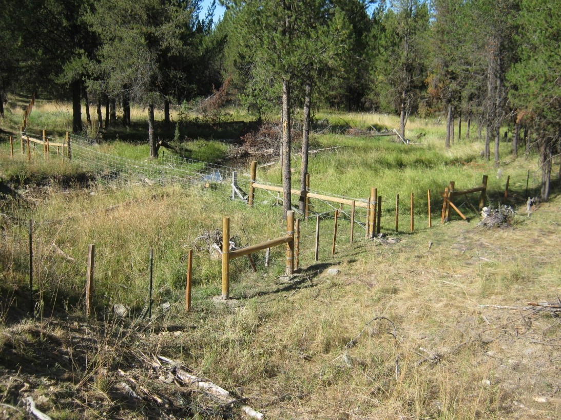
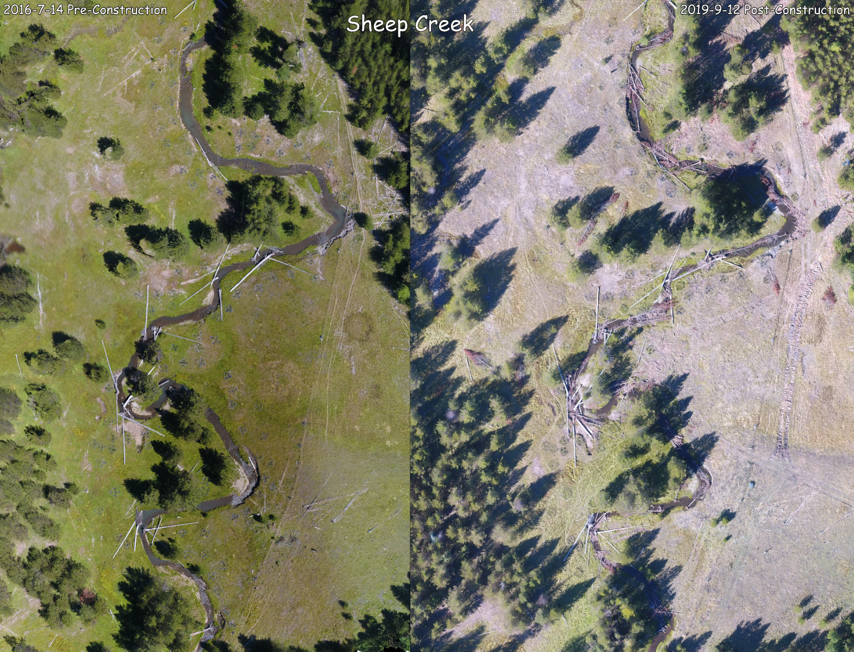
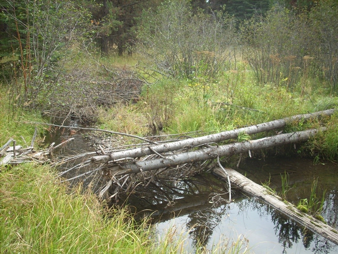
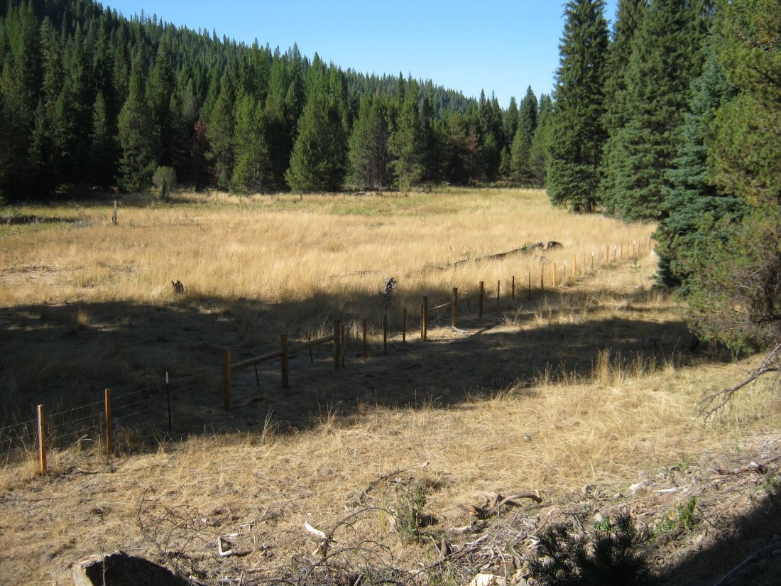
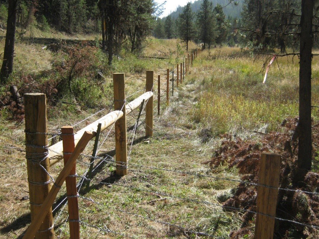
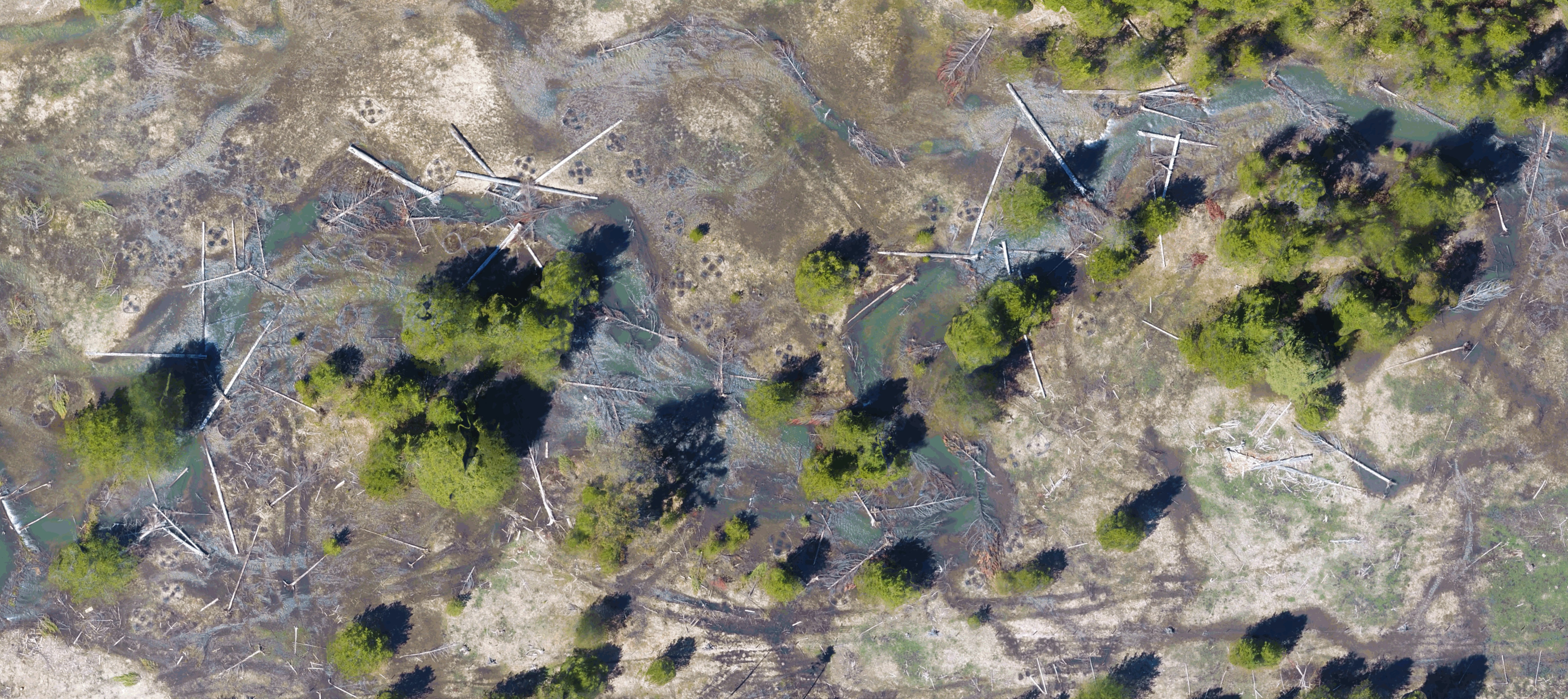
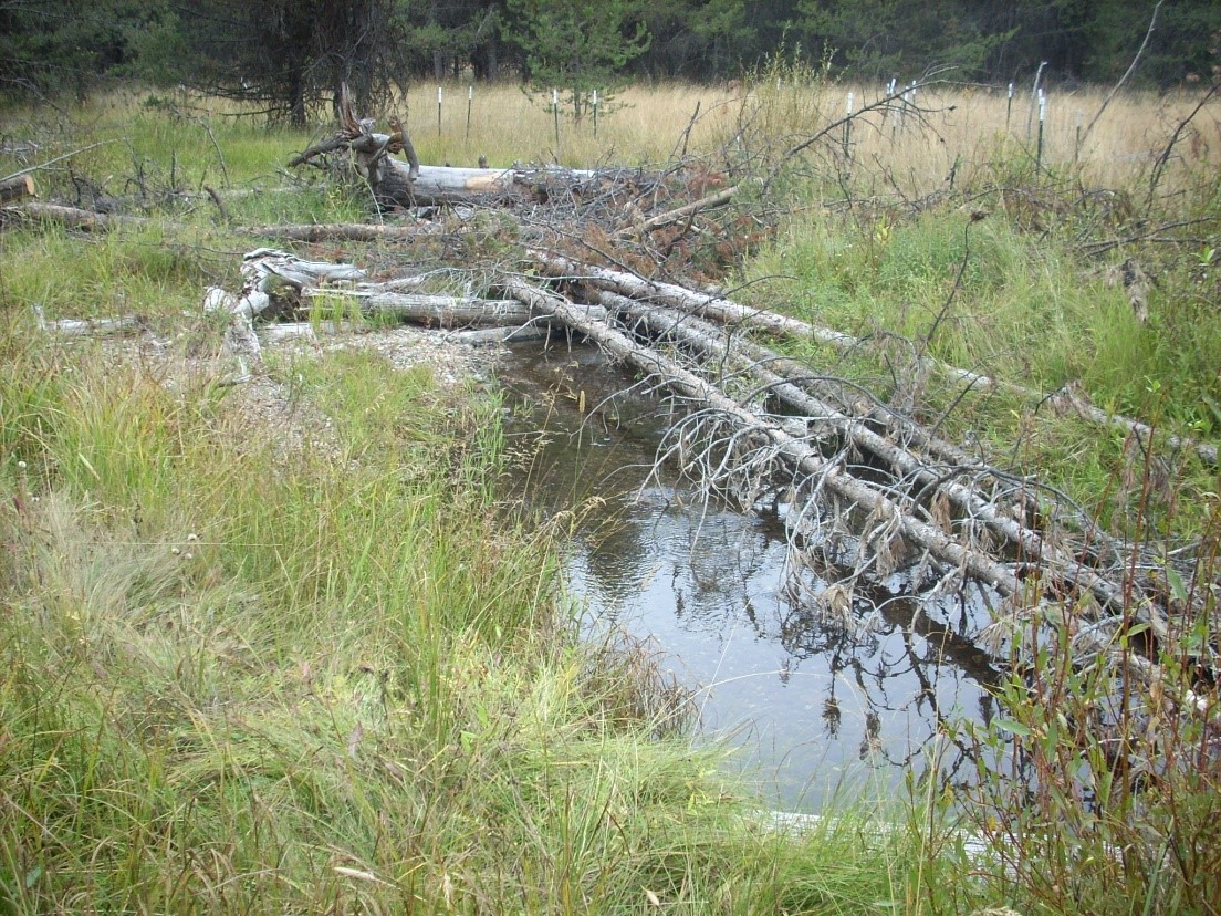
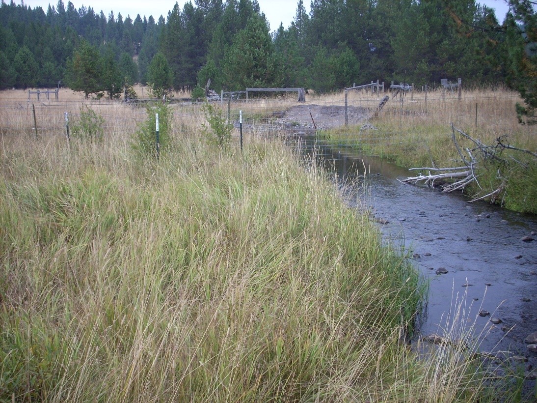
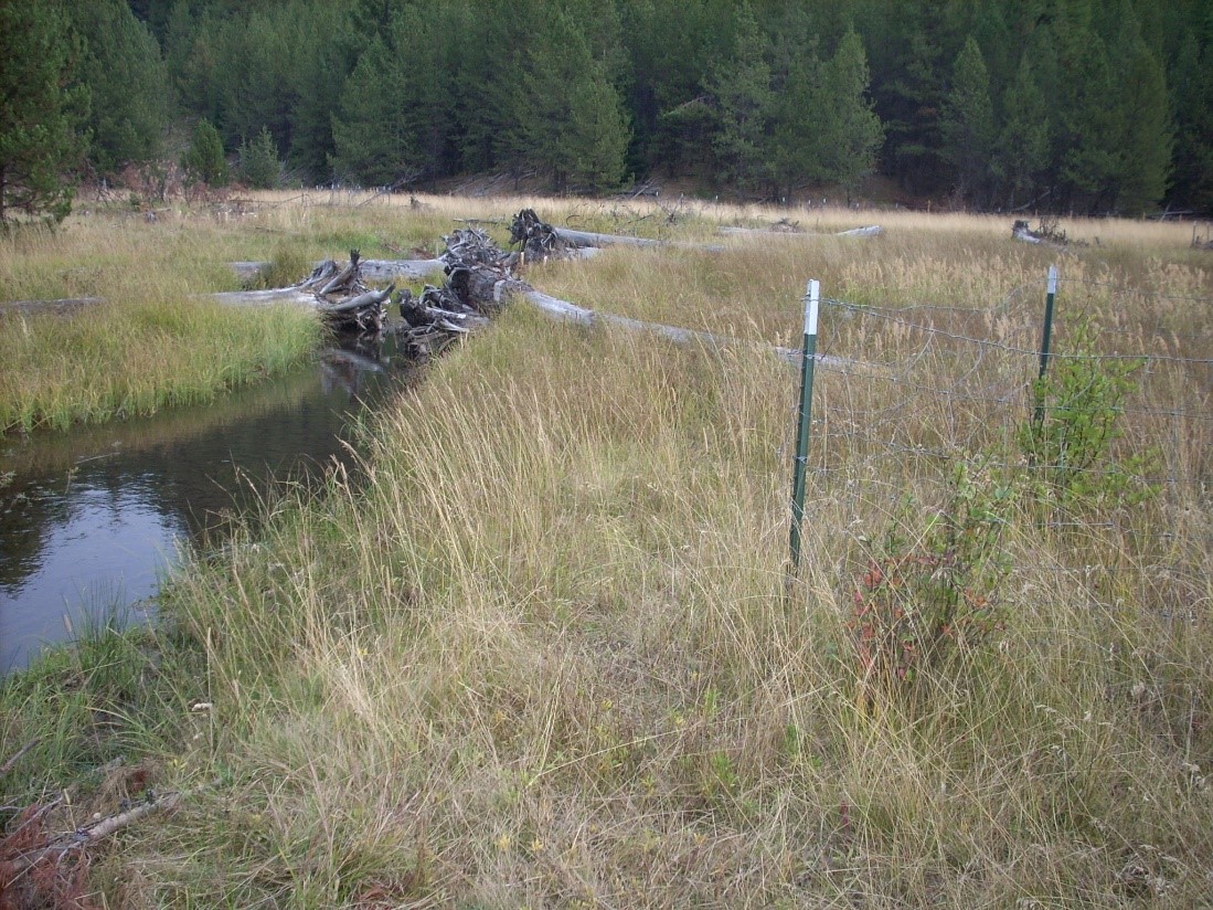
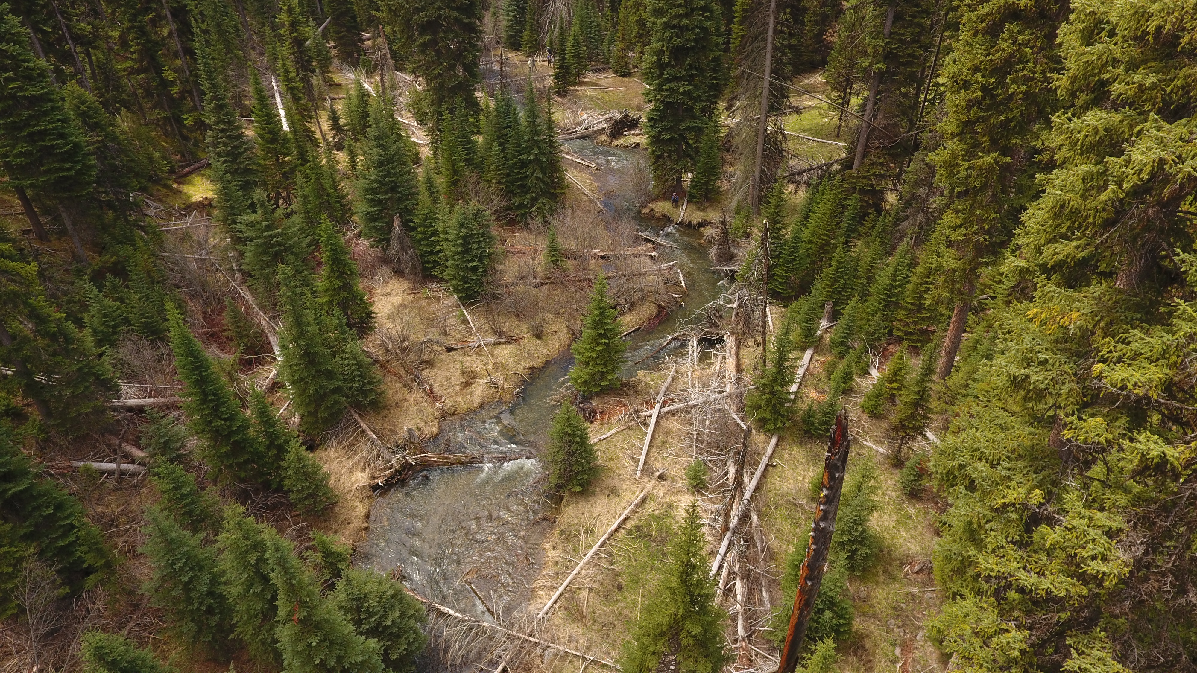
The Sheep Creek Restoration Project is located on Sheep Creek, a tributary of the upper Grande Ronde River. The project area includes 4.5 miles of the creek (RM 7.5 - 12.5). Sheep Creek (Rosgen channel C and E), and its meadow habitats are not in proper functioning ecological condition (hydrologic, geomorphic, vegetative composition), due to historical anthropogenic influences including beaver trapping, overgrazing, logging, road building, and an altered fire regime. The United States Forest Service in partnership with Trout Unlimited will design and implement the project. The overall goal of this project is to achieve proper ecological form and function of Sheep Creek and its meadows, and thereby restore spawning and rearing habitat for Snake River Basin Spring/Summer Chinook, Snake River Basin steelhead, and resident redband trout. The creek also includes bull trout critical habitat although they are not currently known to be in the creek. The project team's restoration strategies include the placement of wood structures, and the reconstruction/realignment of an existing cattle exclosure fence. The wood structures will be placed to restore the hydraulic grade of the system and to reestablish the hydrologic connection to the historic floodplain. Wood structures will also be built with the objective of improving quantity and quality of fish habitat (fish cover, pool quality/quantity, and spawning gravel recruitment). Instream wood structure work will be implemented on 4 miles of stream. The cattle exclosure fencing (5.25 mi) will be built to protect a greater area of floodplain and riparian habitat. Monitoring to measure the effectiveness of strategies used to achieve project objectives will include temperature monitoring (temperature probes, FLIR flights), habitat surveys, photo points, plant survival assessments, and aerial imagery (drone flights).

Project Site Locations

Development Sites

Site name Latitude/Longitude Download
General Project Midpoint Location 45.049661616942934/-118.4603735548237 Download KML

Contacts & Roles

Name Role Organization
Levi Old Project Manager Trout Unlimited

Organizations

Organization Role
Bonneville Power Administration Funding Entity
Oregon Watershed Enhancement Board Funding Entity
Trout Unlimited Sponsor

Grants & Contracts

Organization Contract # Funding Amount
Oregon Watershed Enhancement Board 218-8205 $73632.00
Bonneville Power Administration 79751 $519117.00
Bonneville Power Administration 79330 $236053.00

Documents

Document Type View Download
Project Proposal N/A Download Document
Other View Document Download Document
Completion Report View Document Download Document

Metrics

Metric ID Units Work Elements Metric
1387 4.80 29. Increase Aquatic and/or Floodplain Complexity # of miles of stream with improved complexity
1401 1.00 40. Install Fence # of miles of fence installed in a riparian area
1401 5.50 40. Install Fence # of miles of fence installed in a riparian area
1406 4.50 47. Plant Vegetation, 53. Remove Vegetation, 197. Maintain/Remove Vegetation, 198. Maintain Vegetation, 199. Remove Vegetation # of riparian miles treated
1517 6.50 47. Plant Vegetation, 48. Practice No-till and Conservation Tillage Systems, 53. Remove Vegetation, 180. Enhance Floodplain/Remove, Modify, Breach Dike, 197. Maintain/Remove Vegetation, 198. Maintain Vegetation, 199. Remove Vegetation, 30. Realign, Connect, and/or Create Channel, 31. Conduct Controlled Burn, 52. Remove Mine Tailings, 55. Erosion and Sedimentation Control # of acres of riparian non-wetland habitat treated
1549 0.63 40. Install Fence # of miles of left streambank fenced in a freshwater area
1549 3.50 40. Install Fence # of miles of left streambank fenced in a freshwater area
1551 0.63 40. Install Fence # of miles of right streambank fenced in a freshwater area
1551 3.50 40. Install Fence # of miles of right streambank fenced in a freshwater area
1593 150.00 29. Increase Aquatic and/or Floodplain Complexity # of unanchored individual log structures (not logjams) installed for both stabilization and complexity
1595 225.00 29. Increase Aquatic and/or Floodplain Complexity # of logjam structures installed for both stabilization and complexity
1603 20.00 29. Increase Aquatic and/or Floodplain Complexity # of rootwad structures installed for both stabilization and complexity
1743 300.00 40. Install Fence Average buffer width
1743 80.00 40. Install Fence Average buffer width
1748 200.00 29. Increase Aquatic and/or Floodplain Complexity # of pools created for only complexity
1760 14.00 40. Install Fence # of acres of riparian non-wetland habitat protected by fencing
1761 3.50 40. Install Fence # of acres of riparian wetland habitat protected by fencing
1626 3.00 40. Install Fence # of other exclusion structures
1626 1.00 40. Install Fence # of other exclusion structures
1601 60.00 29. Increase Aquatic and/or Floodplain Complexity # of deflector/barb structures installed for both stabilization and complexity