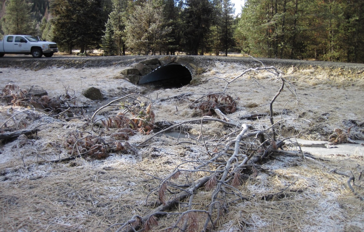
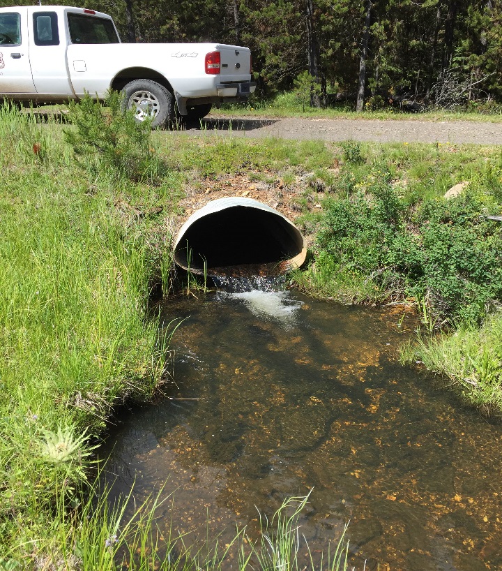
Upper Grande Ronde Culvert Replacements
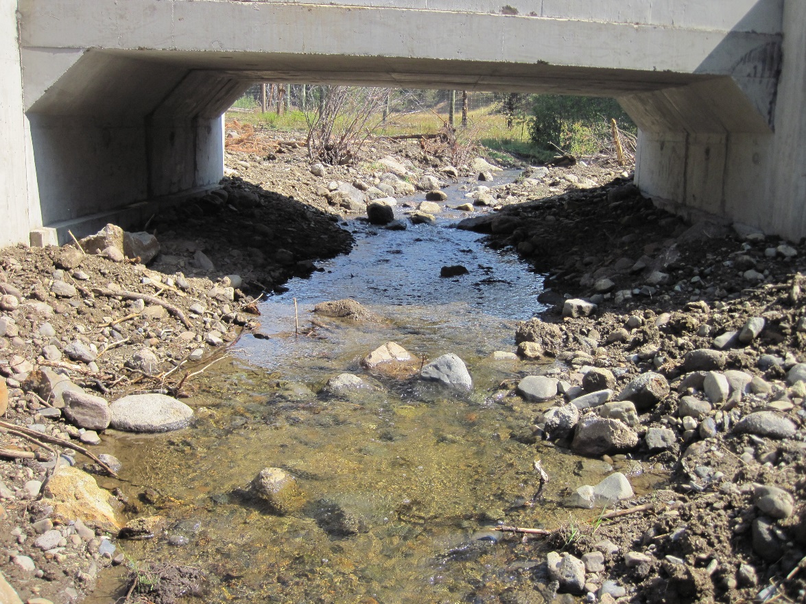
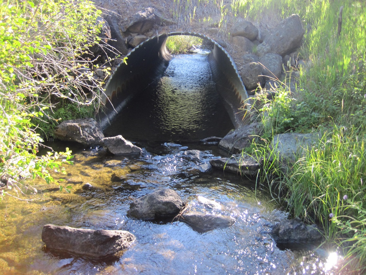
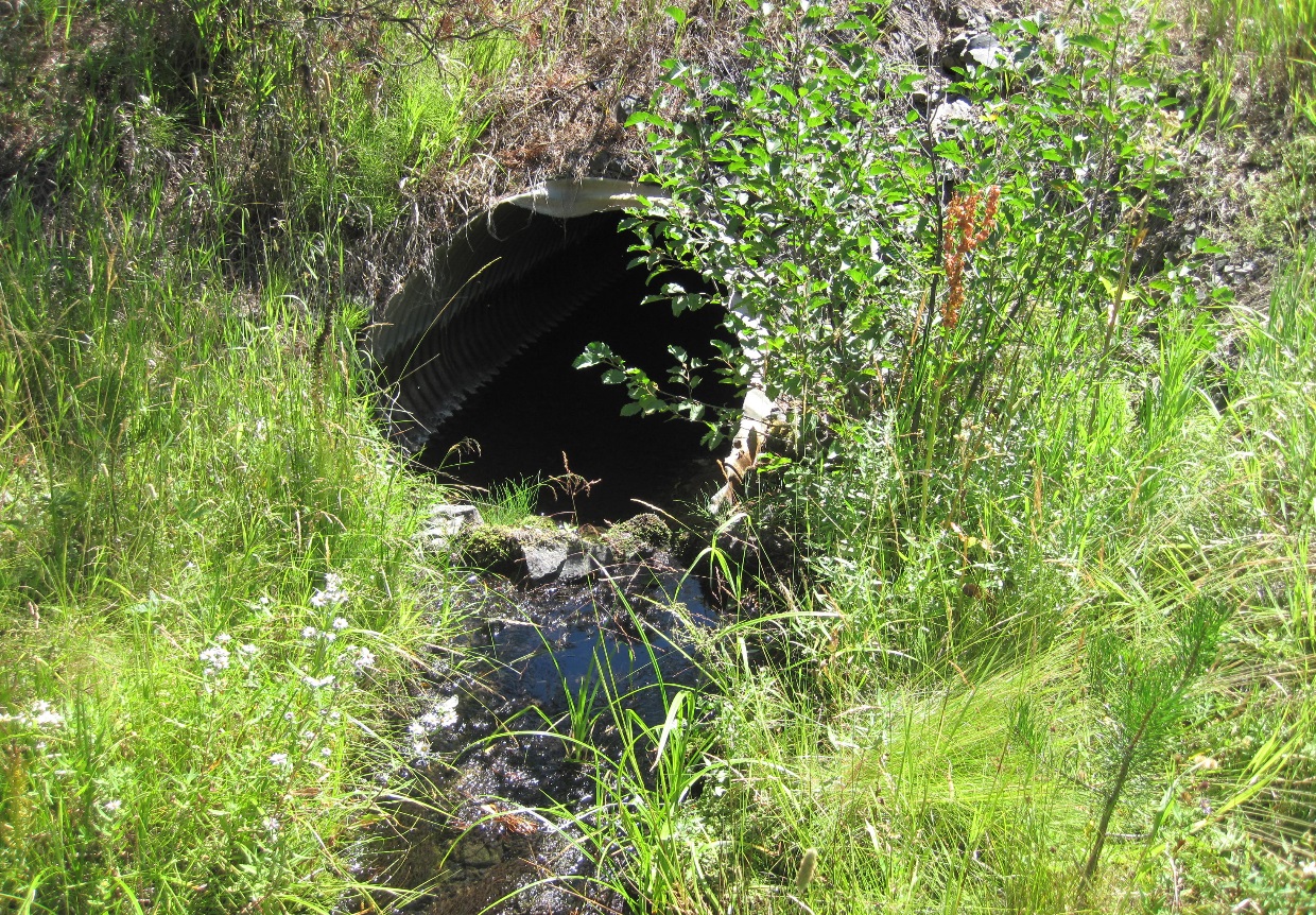
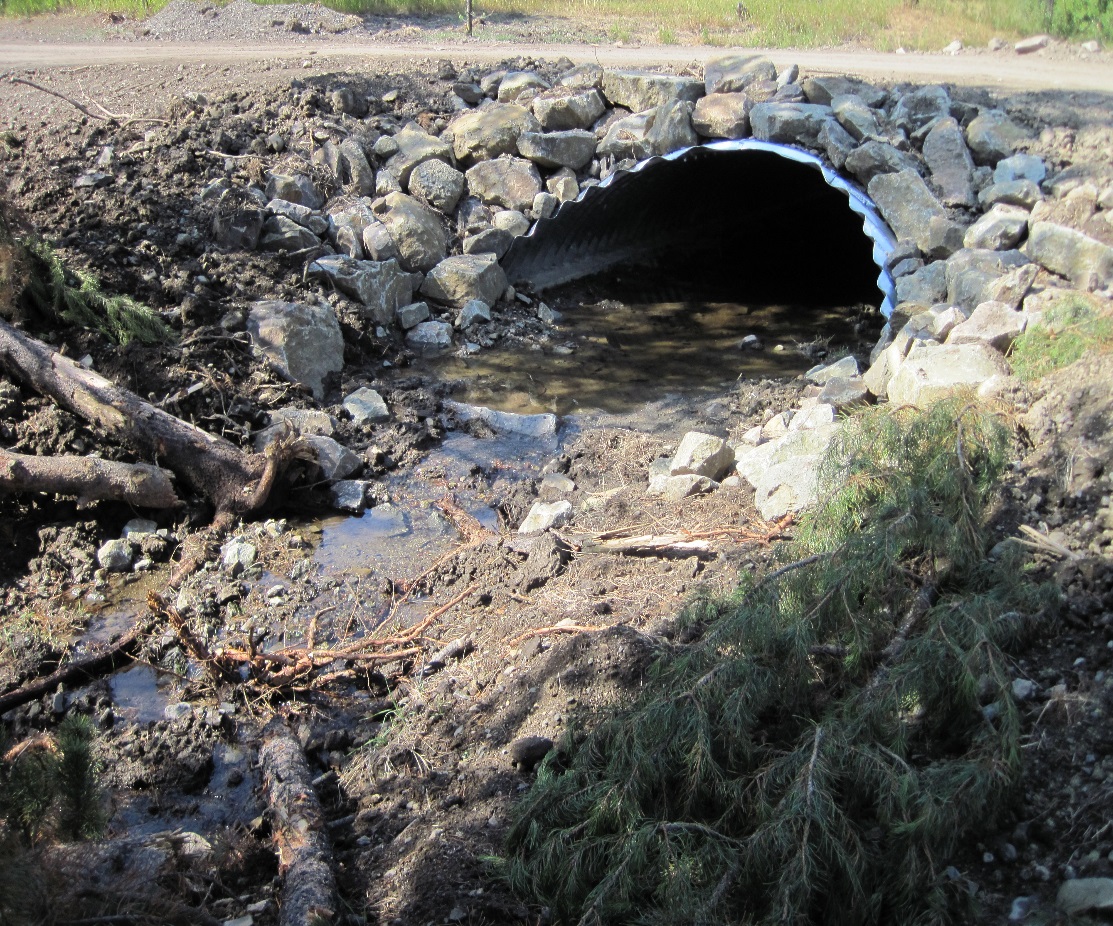
This project addresses three culvert replacements in the Upper Grande Ronde watershed in Union County. The three culvert replacement sites include: Limber Jim Creek, North Fork Limber Jim Creek, and North Fork West Chicken Creek. Each of the three culverts are round, undersized, and lacking native streambed. This project will replace the culverts with arch pipes or concrete box culverts that will have native streambed, are capable of passing a 100-yearflow event, and meet ODFW fish passage criteria. The riparian areas disturbed by the restoration work will be rehabilitated, seeded, mulched, and planted. Monitoring efforts will include established photo points and culvert condition surveys. These culverts are located in Tier 1 and 2 Biologically Significant Reaches (BSR), according to the Upper Grande Ronde & Catherine Creek Restoration Atlas. BPA funds will be used for the Limber Jim Creek and North Fork Limber Jim Creek culverts. OWEB funds will be used for the North Fork West Chicken Creek culvert.
Gallery