
Sorry, you have made a request that resulted in a 404 or 500 error. Please navigate back to the home page and try your request again. If you are still having issues, please report the error to the system administrator, infotech@grmw.org, with the word 'ERROR' in the subject line. We apologize for any inconvenience this may have caused.
Go HomeAbout Us
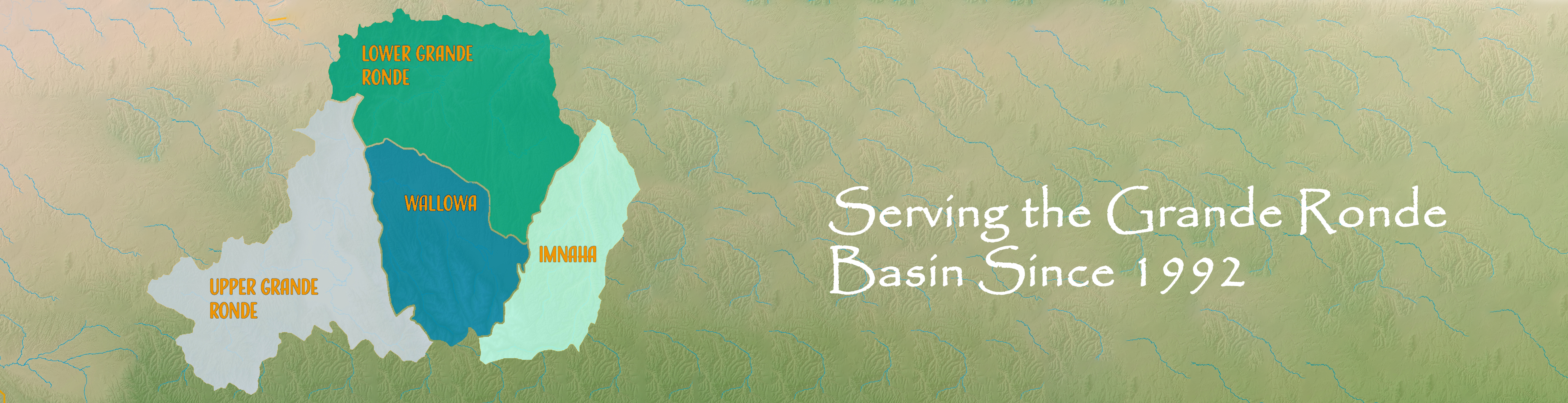
The Grande Ronde Model Watershed is a Non-Profit organization that is commited to restoring fish habitat on both private and public lands within the Grande Ronde Basin. Read More...
La Grande Office
Address: 1114 'J' Ave
La Grande, OR 97850
Phone: 541.663.0570
Fax: 541.962.1585
Location: Google Maps
Enterprise Office
Address: 401 NE 1st Street Rooms D1 & D2
Enterprise, OR 97828
Phone: 541.426.2633
Location: Google Maps
Policies & Credits
Powered in part by Bootstrap
Vimeo and YouTube icons designed by Dave Gandy from Flaticon
Twitter icon designed by Elegant Themes from Flaticon
Facebook icon designed by Icomoon from Flaticon
Read our Privacy Policy
Read our Terms and Conditions
Helpful Links
OWRD - Oregon Water Resources Department (oregon.gov/owrd/)
OWEB - Oregon Watershed Enhancement Board (oregon.gov/oweb/)
NRCS - Natural Resources Conservation Service (nrcs.usda.gov)
USGS - U.S. Geological Survey (usgs.gov)
NPCC - Northwest Power and Conservation Council (nwcouncil.gov)
BPA - Bonneville Power Administration (bpa.gov)


The Grande Ronde Model Watershed (GRMW) values diversity and welcomes input from all interested parties, regardless of cultural identity, background or income level. Thus, the GRMW does not tolerate discrimination in any of its programs, services or activities. Pursuant to Title VI of the Civil Rights Act of 1964 and other federal and state authorities, the GRMW will not exclude from participation in, deny the benefits of, or subject to discrimination anyone on the grounds of race, color, national origin, sex, age, disability, religion or family status.